Place · Profile checked · 6 detected mentions
Cleveland river along which early oil-refining facilities developed.
Also appears as: Cuyahoga River · Cuyahoga
Location
river · 41.4750°, -81.6900°
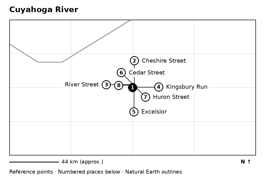
- Cuyahoga River (6 mentions)
- Cheshire Street (13 mentions)
- River Street (5 mentions)
- Kingsbury Run (4 mentions)
- Excelsior (2 mentions)
- Cedar Street (1 mentions)
- Huron Street (1 mentions)
- Merwin Street (1 mentions)
Reference point for the named place. It is not a surveyed historical boundary or building footprint. This image has no street tiles. Wider maps.
Documented relationships
No manually checked relationship is attached to this name.
In the book
Ch. 3, ¶23 Ch. 3, ¶28 Ch. 5, ¶12 Ch. 5, ¶48 Ch. 6, ¶15 Ch. 30, ¶12
Shared passages
A shared paragraph is a reading connection, not proof of a historical relationship. Entries link to the first shared source paragraph.
John D. Rockefeller, Sr. · 6 shared paragraphs · Ch. 3, ¶23
Cleveland · 3 shared paragraphs · Ch. 3, ¶23
Lake Erie · 2 shared paragraphs · Ch. 3, ¶23
Kingsbury Run · 2 shared paragraphs · Ch. 5, ¶12
Eliza Davison Rockefeller · 1 shared paragraphs · Ch. 3, ¶28
Hewitt and Tuttle · 1 shared paragraphs · Ch. 3, ¶28
Erie Railroad · 1 shared paragraphs · Ch. 5, ¶12
New York City · 1 shared paragraphs · Ch. 5, ¶12
Pennsylvania · 1 shared paragraphs · Ch. 5, ¶12
Atlantic · 1 shared paragraphs · Ch. 5, ¶12
Union · 1 shared paragraphs · Ch. 5, ¶12
Excelsior Works · 1 shared paragraphs · Ch. 5, ¶12
All 20 shared-passage connections
Print index
Cuyahoga River — 78, 88, 101