Place · Text-detected name · 2 detected mentions
A detected name or named reference in the book. Check its linked passages to establish identity and context.
Location
creek reference · 41.5100°, -79.5800°
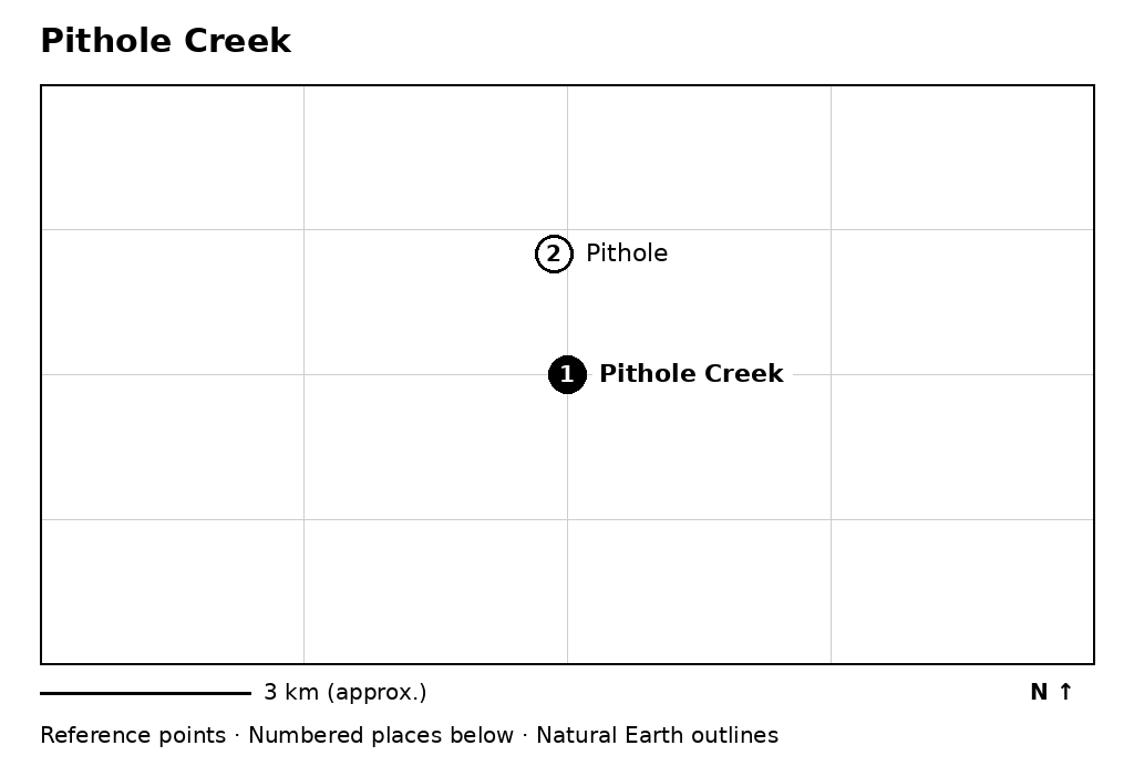
- Pithole Creek (2 mentions)
- Pithole (9 mentions)
A representative point along Pithole Creek, near the former boom town. This image has no street tiles. Wider maps.
Documented relationships
No manually checked relationship is attached to this name.
In the book
Shared passages
A shared paragraph is a reading connection, not proof of a historical relationship. Entries link to the first shared source paragraph.
John D. Rockefeller, Sr. · 2 shared paragraphs · Ch. 5, ¶36
Pithole · 2 shared paragraphs · Ch. 5, ¶36
Oil Regions · 1 shared paragraphs · Ch. 5, ¶36
Ida M. Tarbell · 1 shared paragraphs · Ch. 22, ¶48
Franklin Tarbell · 1 shared paragraphs · Ch. 22, ¶48
Franklin · 1 shared paragraphs · Ch. 22, ¶48
Rouseville · 1 shared paragraphs · Ch. 22, ¶48